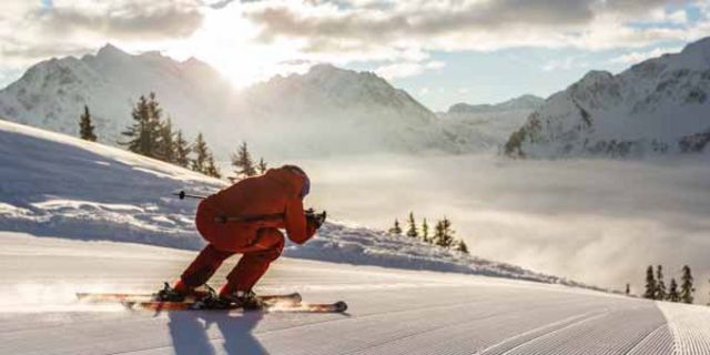
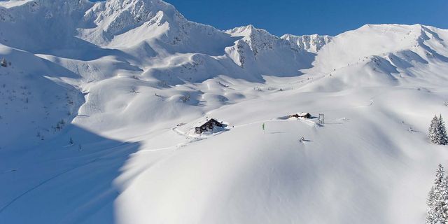
“Back to the roots” is the latest trend, as the sport of ski touring has become increasingly popular in the last few years. Back in the day, heading up the mountain under your own steam was the only version of the sport available. Now back in style, those who reach the peak the hard way should give themselves a well-deserved pat on the back. The rewards for their efforts are many but certainly include descending through pristine nature back into the valley. These days, snowboards can also get in on the fun of touring thanks to so called “split boards.”
The local ski schools can recommend a variety of tours, depending on the length and difficulty of the tour desired.
Buckle your ski boots and go!
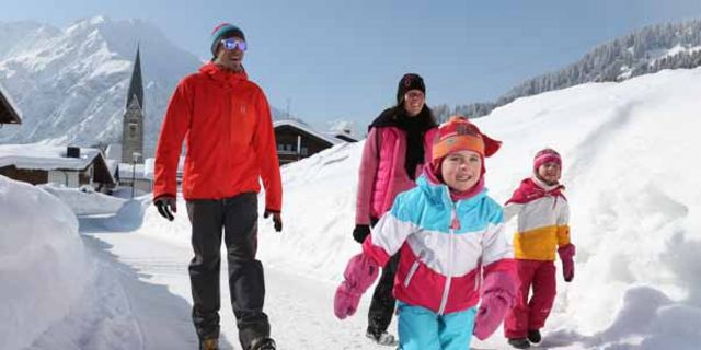
Numerous resorts are located throughout the Austrian ski region of Kleinwalsertal. The only brief interruptions are the Breitbach Bridge (3 min on foot) and the Schwarzwassertall valley (by bus from the Parsenn mountain station to the Ifen valley station). Child-safe chairlifts and platter lifts make the ski resorts especially kid-friendly for safe and fun ski holidays in Vorarlberg.
OBERSTDORF-KLEINWALSERTAL CABLE CARS
Two countries, 130 km of slopes, 48 modern lifts and one unique skiing experience! The following resorts are members of the same ski association: Kanzelwand, Ifen and Walmendingerhorn on the Austrian side and the neighbouring ski resorts of Söllereck and Nebelhorn in Oberstdorf. New from the winter season 2017/18: Day and multi-day tickets valid for all ski resorts in the Oberstdorf-Kleinwalsertal ski region (with the exception of Söllereck, which only has individual tickets).
The Heuberg-Arena
This family-friendly ski resort is located in the town of Hirschegg and offers optimal conditions for beginners, the easy going, and families thanks to its gentle, wide slopes. The resort features approx. 15 km of slopes in blue, red, and black. Tip: Night skiing is open at the Hubertuslift every Thursday (starting in January) from 8 to 10 pm!
Interactive Ski Map
More info is available from the ski resort interactive map. Which slopes and tracks are open? What infrastructure is available where? What do the webcams look like? What are the conditions like up top? It’s all available at a single click thanks to our interactive slope planner.
